Skyler’s Weekly Review – Week 10

All things that begin must end. But not all things have to end the way they began. Friends made, memories of the journey, and the momentos of progress and challenge all are forged in time. Each token of time will remain a keepsake to me forever. Things certainly did not end the way they began: the Oregon coast has been explored, several estuaries have beeen preserved in cyberspace and eagerly await analysis, and my curly mug has been etched into the brains of at least 20 people. A journey like this teaches many things, but as with all teachings the lessons are unique to the one experiencing  it. My mentors include my team, SEACOR, the tides and the ocean, my fellow summer scholars, the Sea Grant Staff, and of course practically the entire Hatfield Marine Science Center staff; all of which deserve personal thanks.

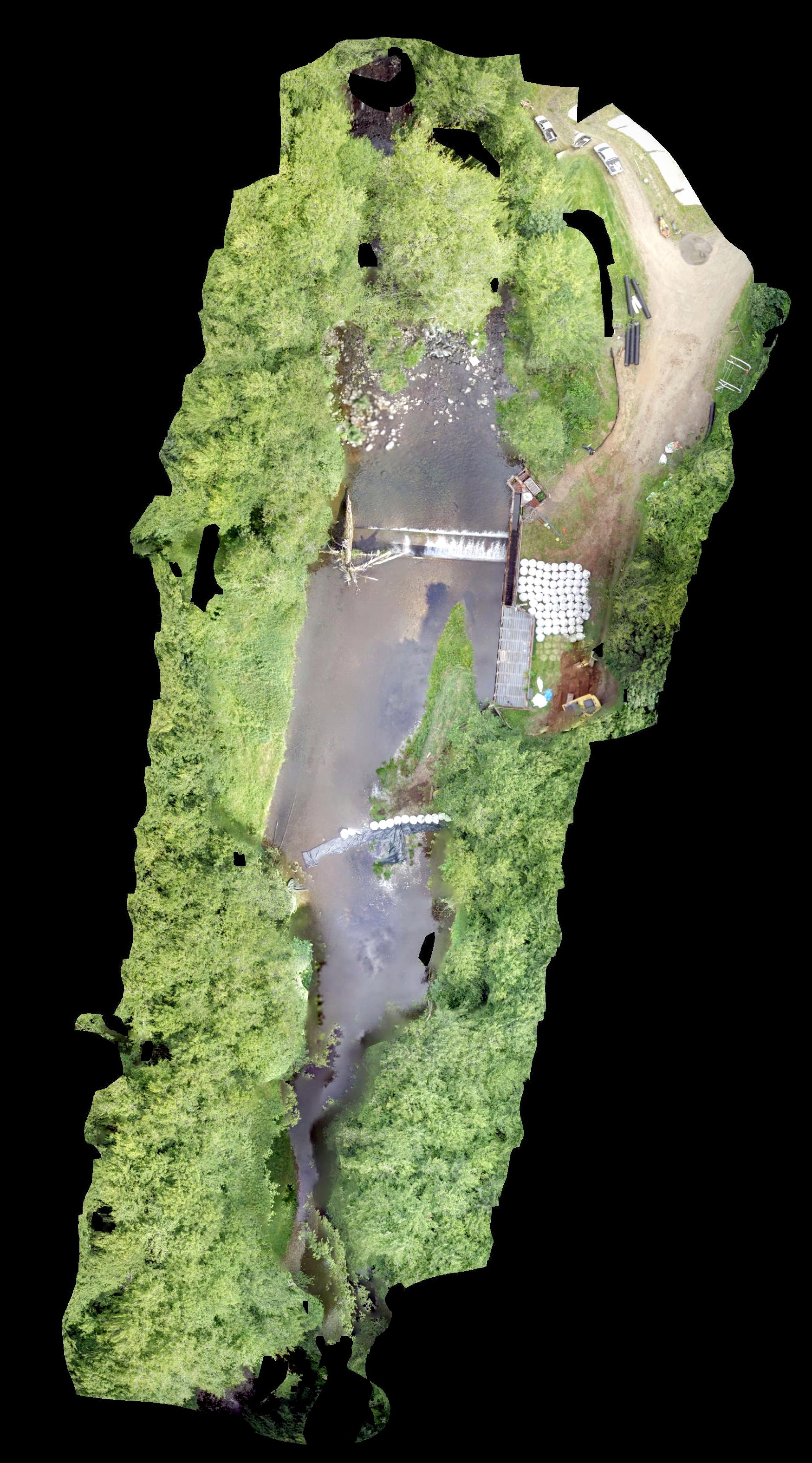
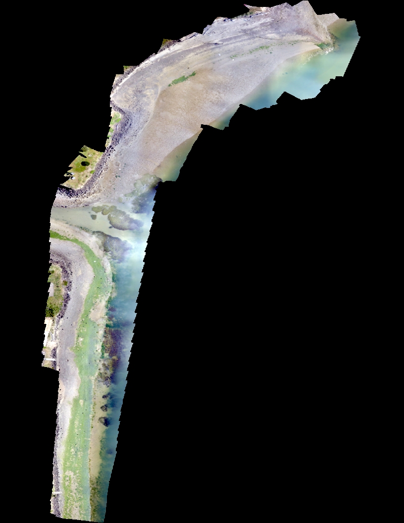
Perhaps my favorite part was personally experiencing (and at least partly responsible for creating) the beauty of images taken 7-60 meters above the ground (click on them!):

Final Alsea Bay Flight; collected via TurboAce MAtrix-E w/ Sony RX100 M3. A Labor of love, these mosaics require intense attention to detail for long periods of time.

Mill 18, Courtesy Erik Suring.

Trask River Dam Removal


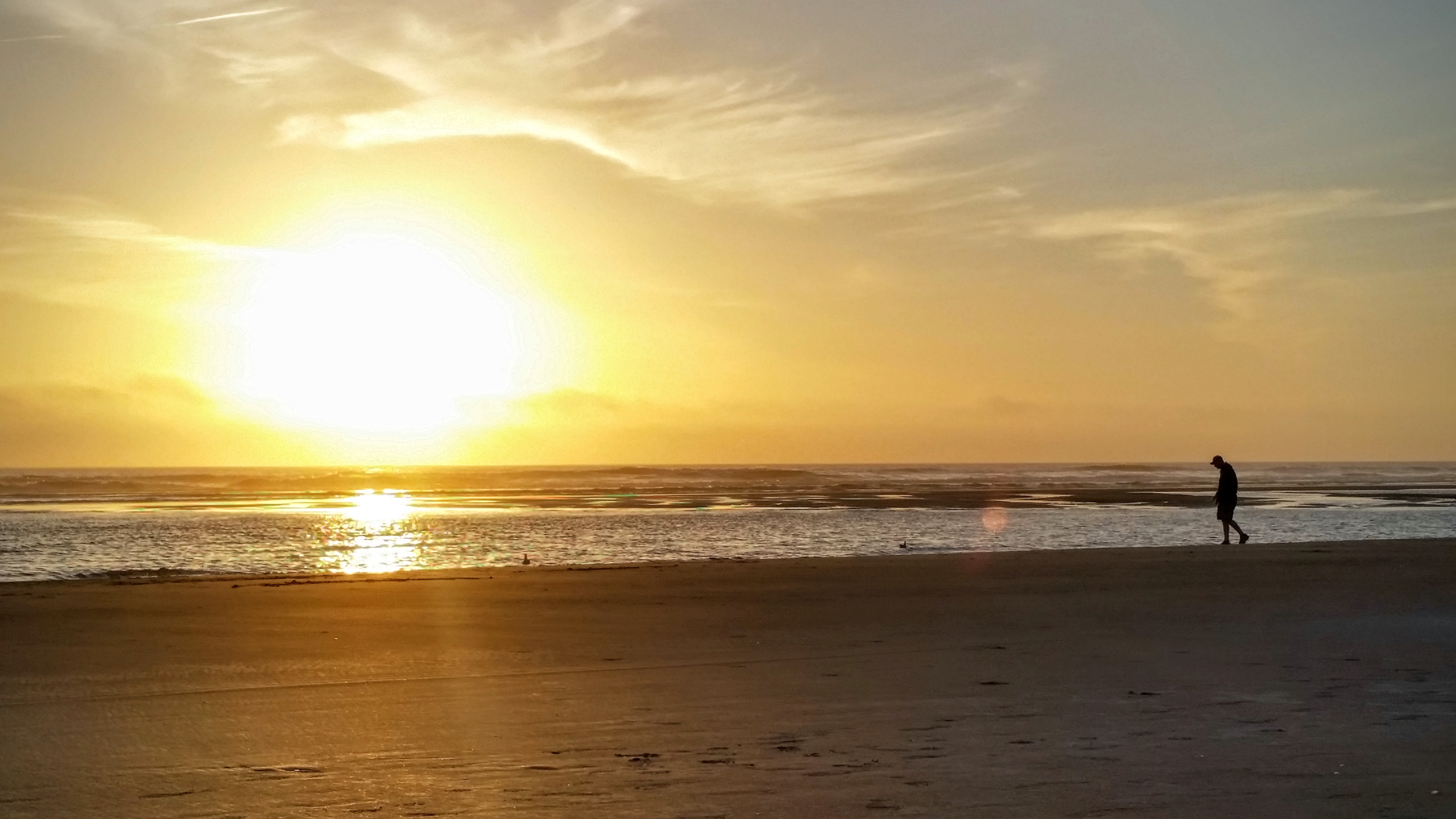
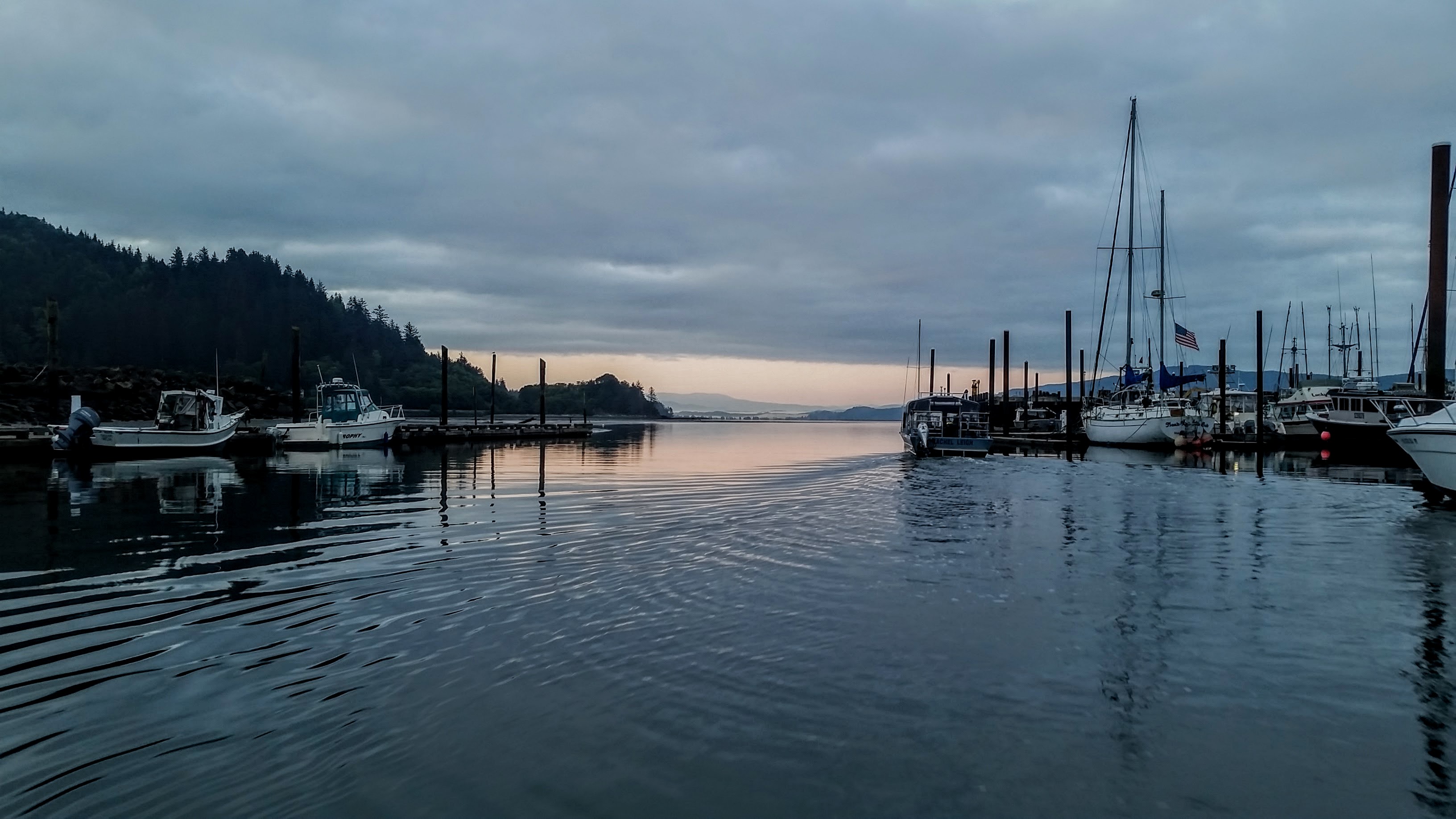
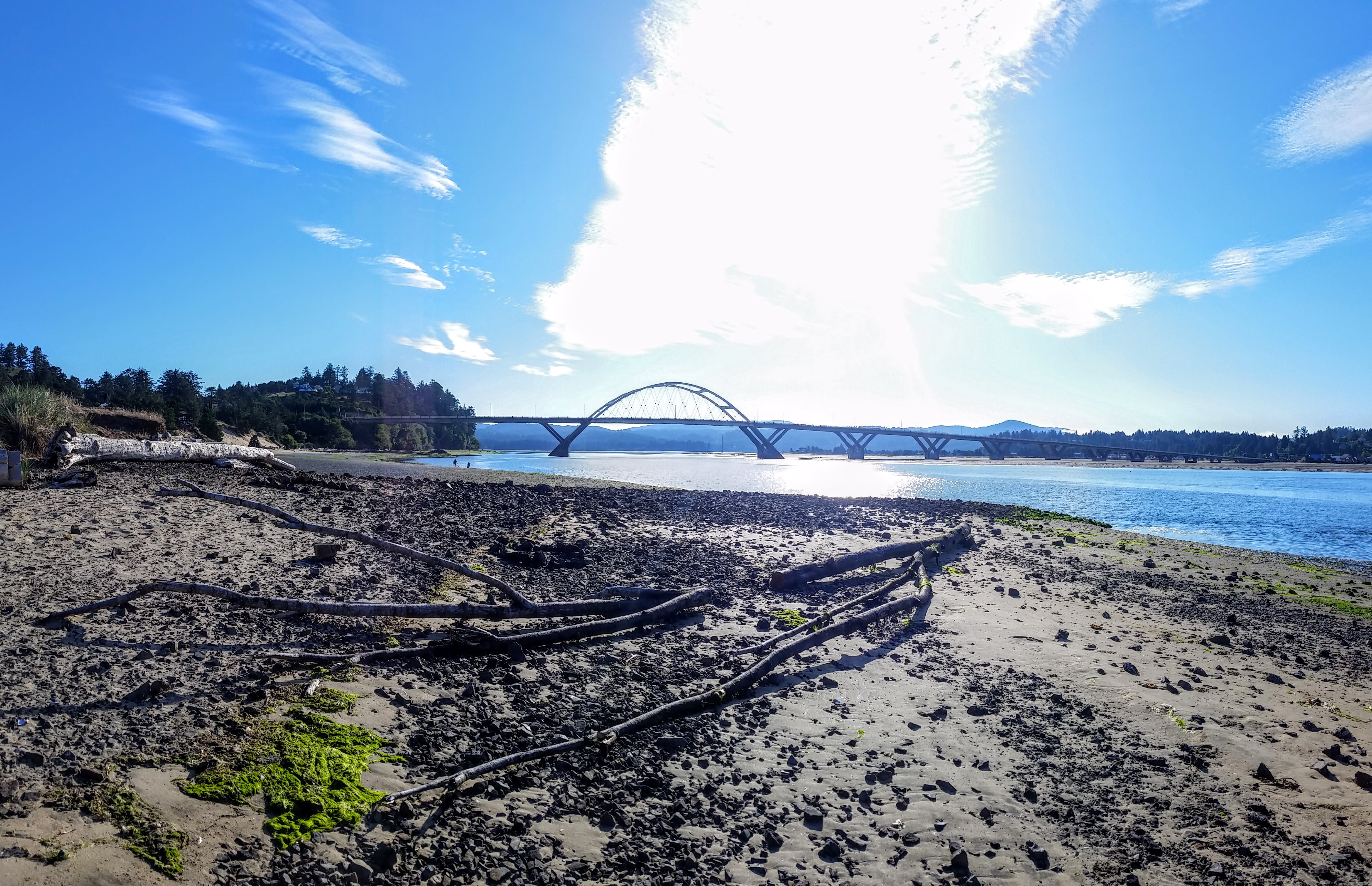
Or perhaps it was the places I went, the way the sun rised and set, or the things I met:


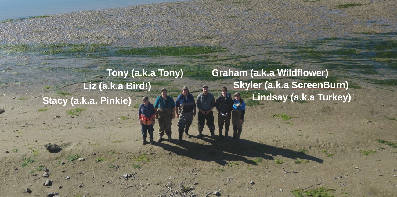
But I know for sure it was the people I encountered and befriended, the people who taught me so much, the friends who became family, and the family who I will surely miss:

Skyler’s Weekly Review – Week 9

The Buzz: Sea Grant Summer Scholar’s Final Symposium!

Final Symposium: This is it! Finally, the culmination of all of our summer projects are here to share! After many hours of creation and working in the details and minor edits, we each completed a poster and prepared a presentation to the Hatfield general public. I have embedded a link to my poster below for your perusal:

SYMPOSIUM POSTER LINK

My Poster & Display at the Final Symposium

While I still have a week of work left, it is a week of winding down and tieing loose ends. Saying goodbye is never easy, and I can never dole out enough thank yous to those who made this summer remarkable.

Skyler’s Weekly Review – Week 8

The Buzz: Tillamook Field Work Week

Eelgrass beds of Tillamook Bay

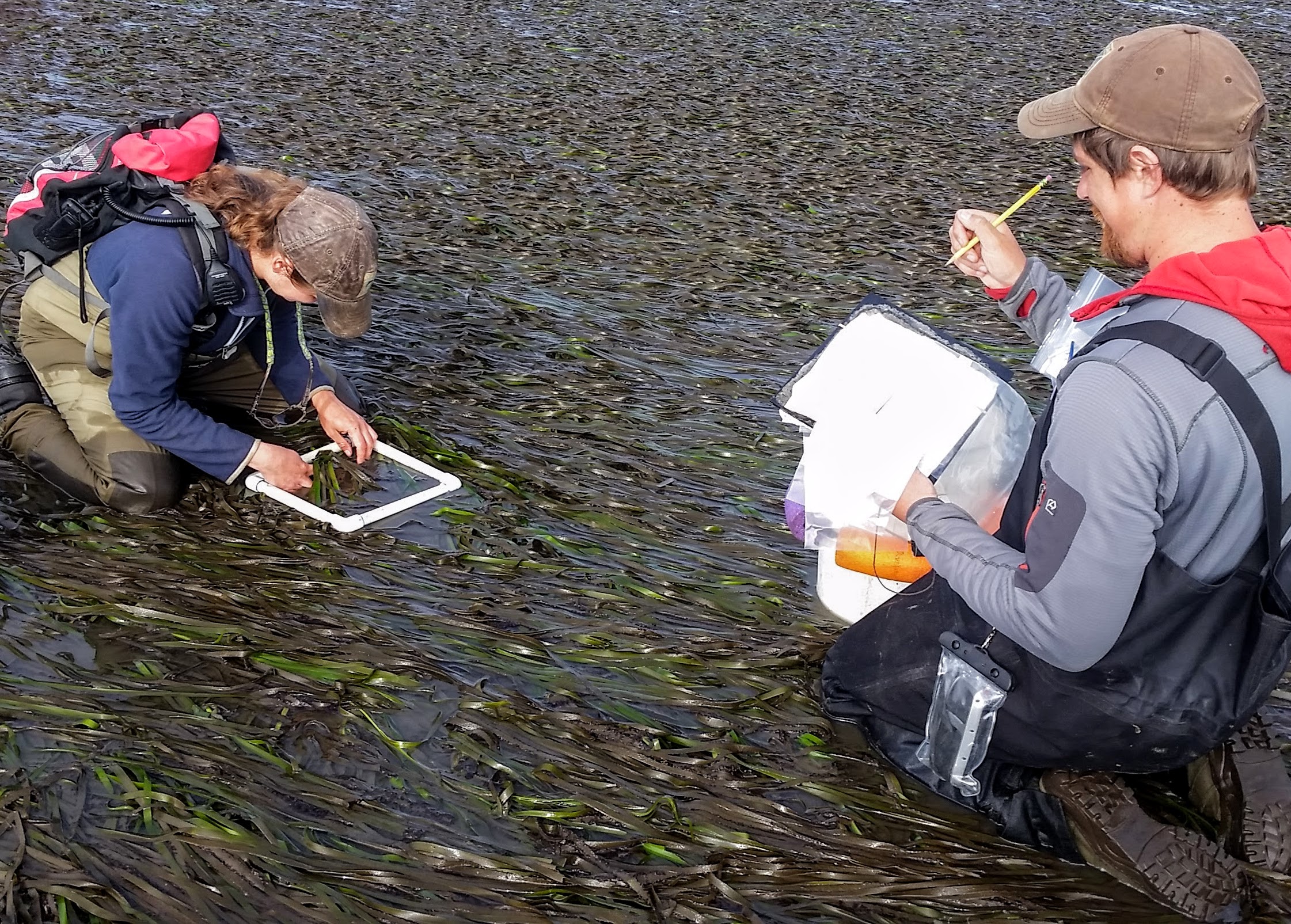
Tillamook Field Work Week: In the world of computer systems and mountains of data to process, I often don’t get to find out where the data I’m working with comes from. Working with SEACOR has provided me ample opportunities to splash in the mud, wade through the water, handle an estuary’s bounty in the form of epiphyte goop (plants that grow on other plants) and smelly eelgrass, and perhaps most importantly see the data I use from start to finish.

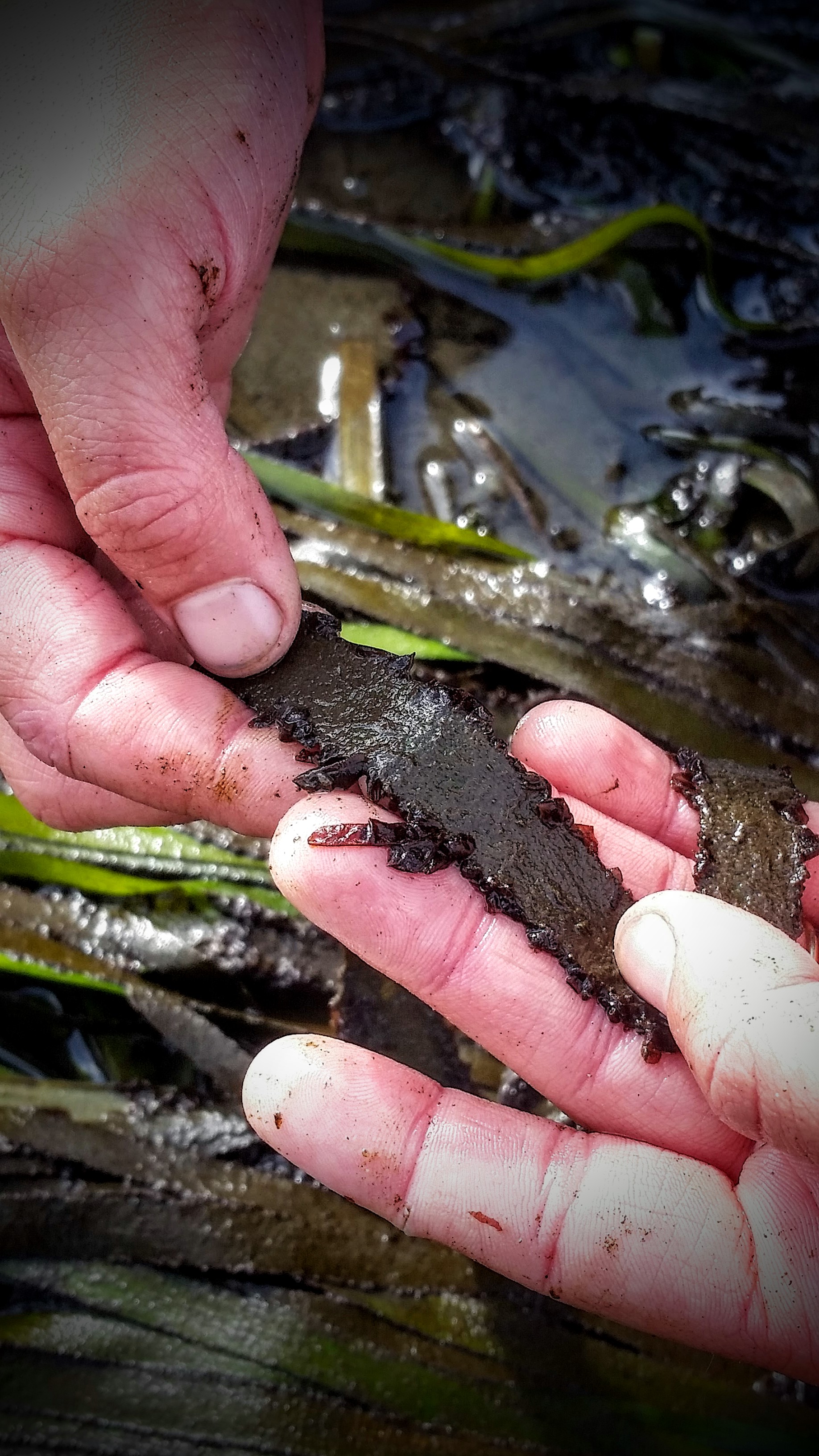
Porphyra, a genus of common brownish-red epiphyte off the Oregon Coast that attaches frequently to eelgrass, can be seen here.

Buried under mats of eelgrass are a plethora of vulnerable but highly adapted animals. Poke around long enough, and you’ll find a whole other world. I have found Skeleton shrimp, colonial tunicates (some invasive), shore crabs, kelp crabs, isopods-a-plenty, bay clams and oysters taking advantage of the cover. I find something new every trip!

Eelgrass coverage, epiphyte coverage, algae coverage, and number of shoots per quadrat are typical numbers SEACOR collects for dozens of sample sites in each estuary.

Much like the golden hour of sunset, sunrise has its own hour that’s best enjoyed when you get used to waking up early enough to see it.

Sun is up. I am up.


Skyler’s Weekly Review – Week 7

The Buzz: UAV Updates, Garibaldi Days, Time Away From Computers

UAV Updates: Rendering thousands of images into single, usable datasets takes an enormous amount of time; a task that is difficult even with specialized, high-end computers or servers designed for hashing out mosaics and 3D models. As these processes slowly complete, I continue to refine the procedures (complete with hours of “lessons learned”) SEACOR will utilize for future UAV flights and imagery. I don’t have much to show for it yet, but I will soon!
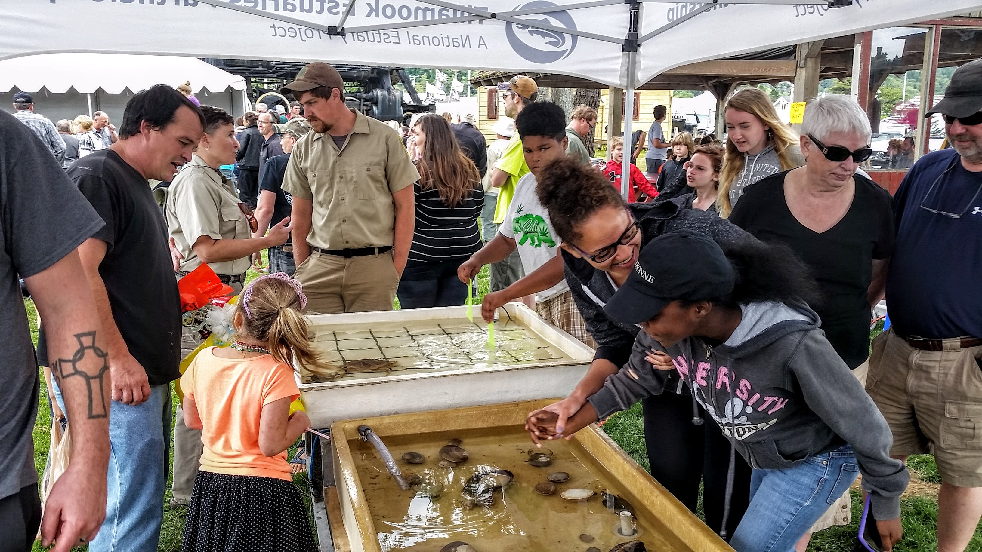
Garibaldi Days Touch Tank Setup

Garibaldi Days: As state and federal budgets are squeezed, education and outreach programs are often the first to be cut from spending plans. Although budgets are tight, SEACOR has made it a priority to coordinate several outreach events throughout the year. Our touch tanks are always a big draw for kids and adults alike. Having contributed hours towards two of these events now, I can say they are worth conducting. In both Garibaldi and Coos Bay, several misconceptions were shockingly common. Here are a couple (with corrections in red):

Red Rock Crab. ODFW.

Red Rock crabs are (not) invasive:  Cancer productus, more commonly known as Red Rock crab, are frequently labeled by the general public as an invasive species when in fact they are not. Red Rock crab have been observed in Oregon fossil records and have a native range along most of the West Coast from Southern California to Alaska. Their claws are particularly adept at crushing hard-shell animals such as clams, oysters, and even other crabs. In large abundance, Red Rock crabs can be a problem for commercial shellfish businesses but this occurrence is rare and there are control strategies for dealing with them. For more information on Oregon crab identification, ODFW has compiled a simple list here with further resources.

Pacific halibut resting on a bed of eelgrass. NOAA photo by Adam Obaza.

Eelgrass is (not) invasive/What is eelgrass?: Commonly mislabeled as a seaweed, eelgrass is a flowering seagrass that provides massive benefits to shellfish, fish such as salmon and rockfish, and many other types of wildlife. Eelgrass beds support the health of a variety of commercially targeted and environmentally important species, particularly during spawning and juvenile stages of their lifecycles. Eelgrass is federally protected under several congressional mandates such as the Clean Water Act (section 404) and the Fisheries Act of 1996 in addition to several Oregon State administered levels of protection. Recent studies suggest commercial oyster farming have particularly damaging effects on eelgrass beds. More information from NOAA can be found here and here. Conflicts between government regulations and commercial and recreational bay users flare up frequently. A good example from the LA times can be read here.

Time Away From Computers: Between the blog, online classes, cheap entertainment, and work, I spend a lot of time behind a screen. Every spare chance I have (and some that I don’t that I make time for…) I like to get out and explore. My spare time usually ends up with collections of things too large to carry, projects that are secret even to me, and few more freckles that appear to have replaced my ability to tan in the sun. With only a few weeks remaining, it is time to figure out what all this stuff is for! Here are a few clues for my SEACOR-it (secret) project:
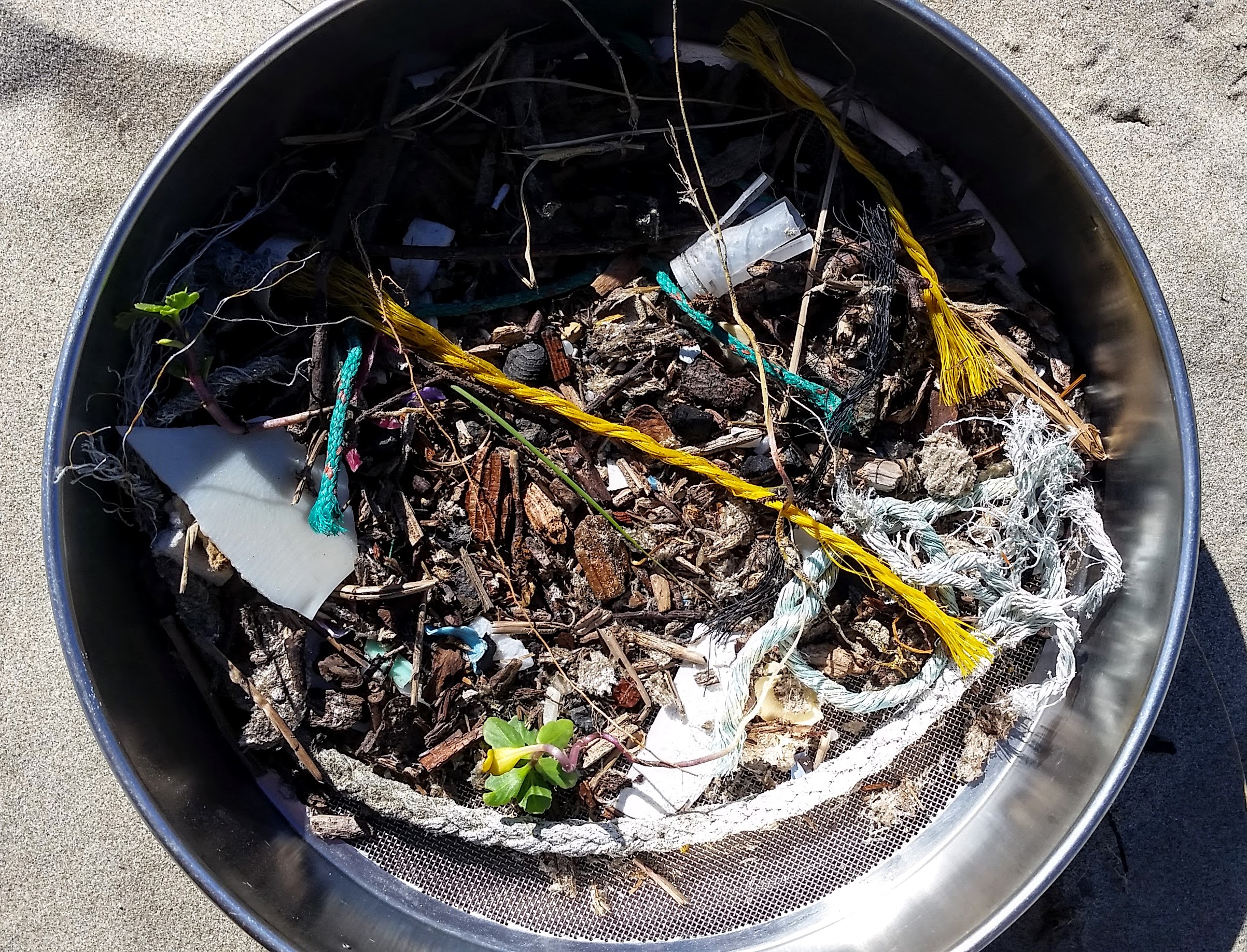
Sieves and Ocean Debris
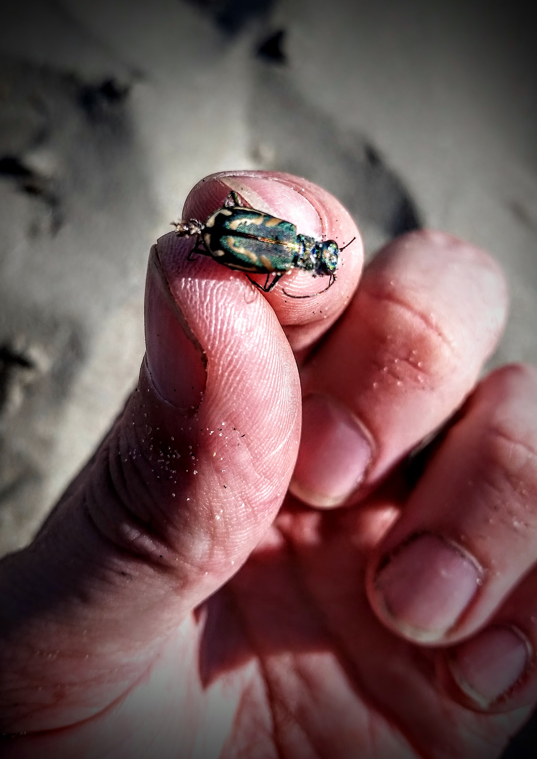
My yet-to-be identified scarab-esque splender
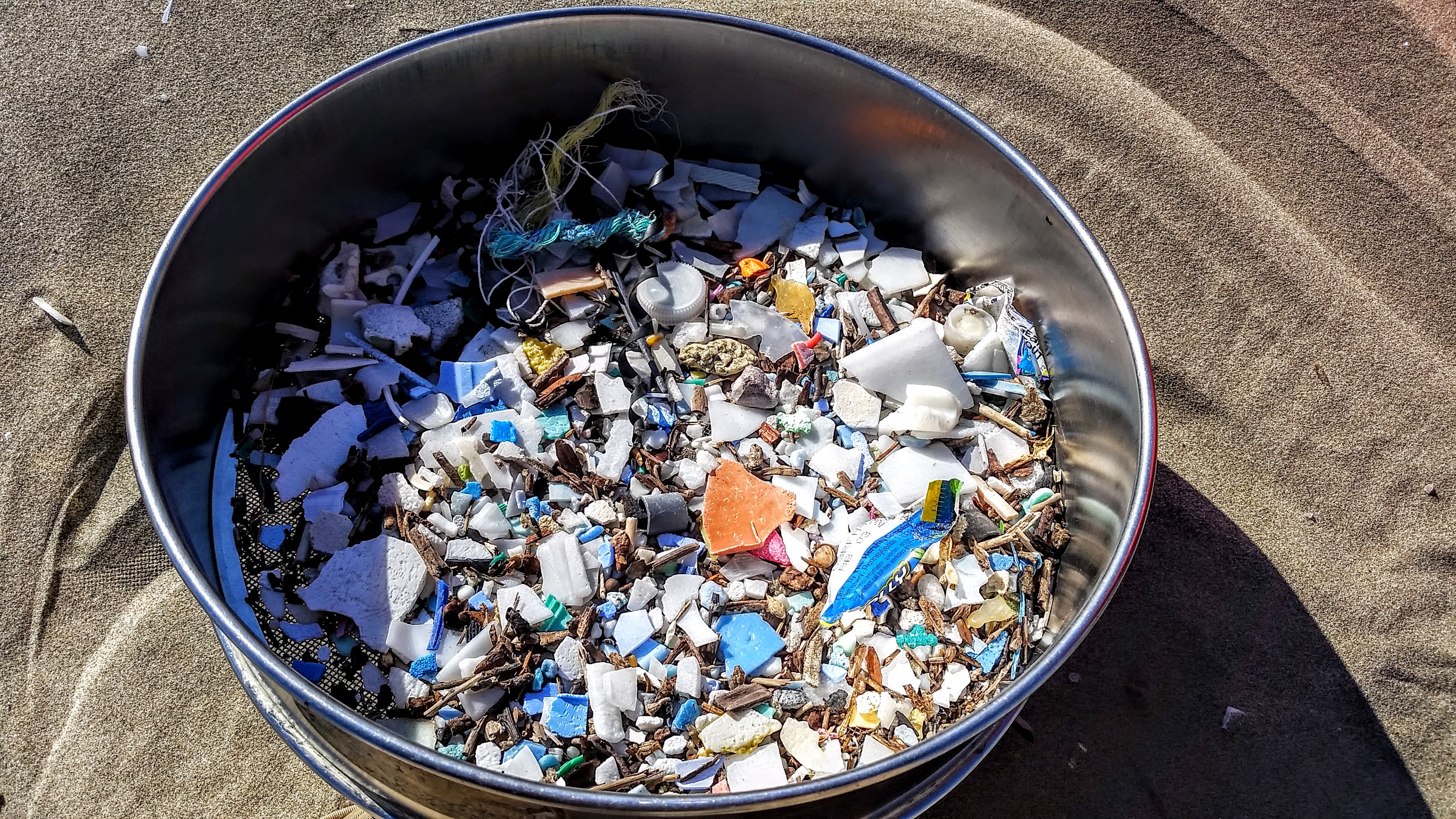
Ocean Plastic…
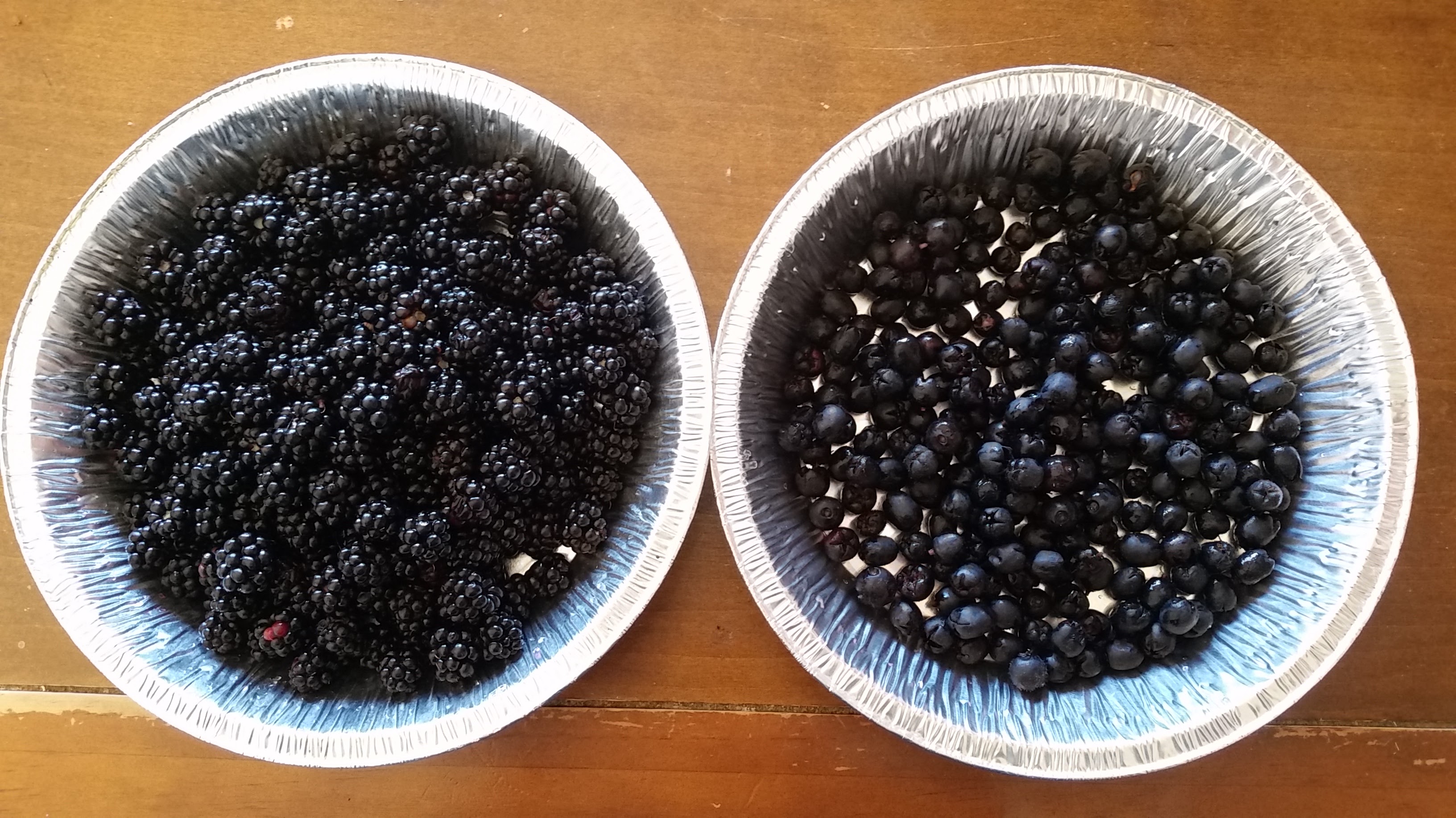
Local Berries!

Skyler’s Weekly Review – Week 6

The Buzz: Alsea Bay, Razor Clams in Astoria

Good Morning, Alsea Bay

Alsea Bay: With every UAV flight, SEACOR gets faster, more efficient, and apparently more repulsive (to seagulls). Despite the incessant whine of gullible gulls and their defensive attacks, we made several successful flights over clam and eelgrass beds along the north coast of Alsea Bay. The culmination of our experience thus far will hopefully yield our best results. Unfortunately, these were the last flights I will get to experience with SEACOR for the summer. Fortunately for the seagulls, it may be the last time we disturb the otherwise undisturbed shore of Alsea Bay with our buzzing predator-esque flying things.


ODFW Razor Clam Population Assessment

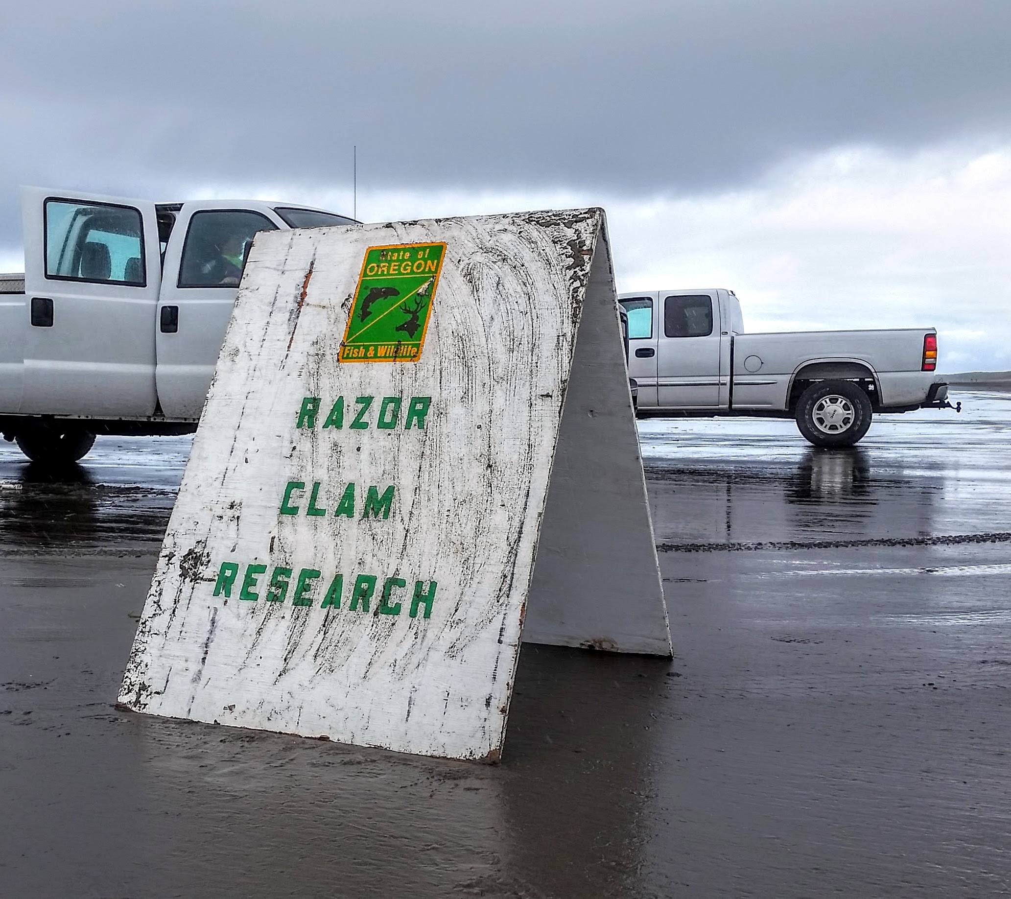
Razor Clams in Astoria: Some of the best beaches in America for harvesting razor clams are found in Northern Clatsop county, Oregon. The stable, sandy beaches between the Tillamook river head to the Columbia river jetty west of Astoria are well known for harvests of  over 2 million razor clams. A resource like this gets a lot of attention. To encourage recruitment (or the settling of offspring and immigrating adults) of future generations of clams, the State of Oregon at the behest of the ODFW close the beaches during mid-to-late summer to all recreational harvesting. Once the beaches are closed, its time for biologists to get to work. The monitoring site we offered to assist with was along Fort Stevens beach (south of Astoria near Warrenton). Trudging along the beach with a handcart full of hoses and an engine seems familiar… SEACOR’s megacoring work in clam beds is similar, except we have a boat, dry suits, and a vacuum instead of a pump. Working with exceptionally fatty clams (razors) that float instead of sink in water sounds like easy work, but you’d be mistaken to think it was. Pulling around heavy fire-hoses full of water up and down the beach for 5 hours bestowed us with a special brand of tiredness.


The Oregon coast and the varied weather that occurs here probably causes many to shy away from being outside for too long. Sand, mud, rain, sun, wind, and the experience of all of them simultaneously during field work reveals another side of the Northwest coast. For those who are patient (or for those who are forced to stick around) and for those that understand the region (or for those that find love living in it), the Pacific Northwest is unique and stunningly beautiful everyday. As quickly as you can drive 10 miles, you will find completely different conditions. You might drive from hot sun to stormy rain. You might find another reason to stick around or to love the liquid sun rays or fog and mud. Like a filter, a change in the weather simply adds another perspective.

Good Night, from the Peter Iredale Shipwreck at Fort Stevens, OR. Photo by Robert Bradshaw

Next Week: Garibaldi Days, Tillamook Field Work, SEACOR-et Project Pt. 1


Skyler’s Weekly Review – Week 5

The Buzz: Orthomosaics, Bathymetry Gone Awry

Alsea Bay Orthomosaic

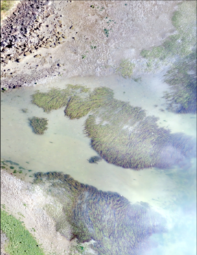
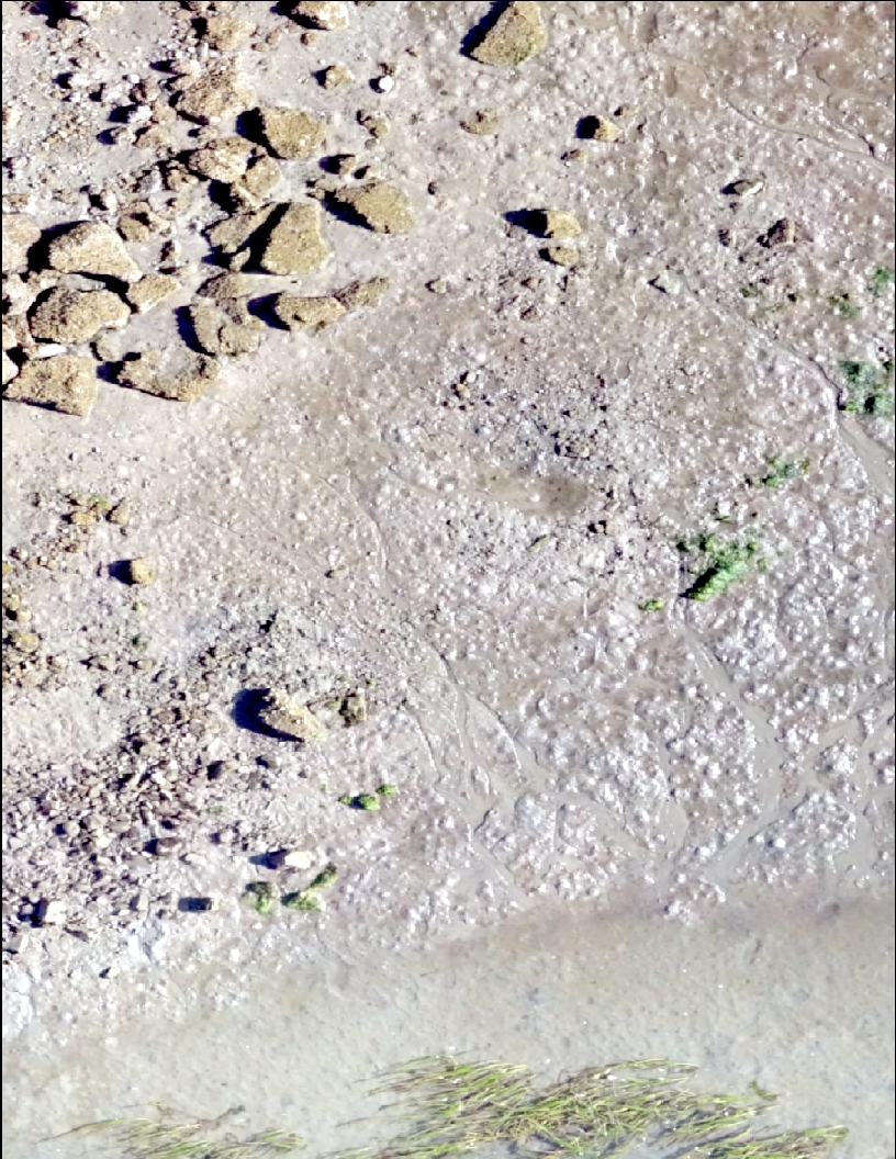
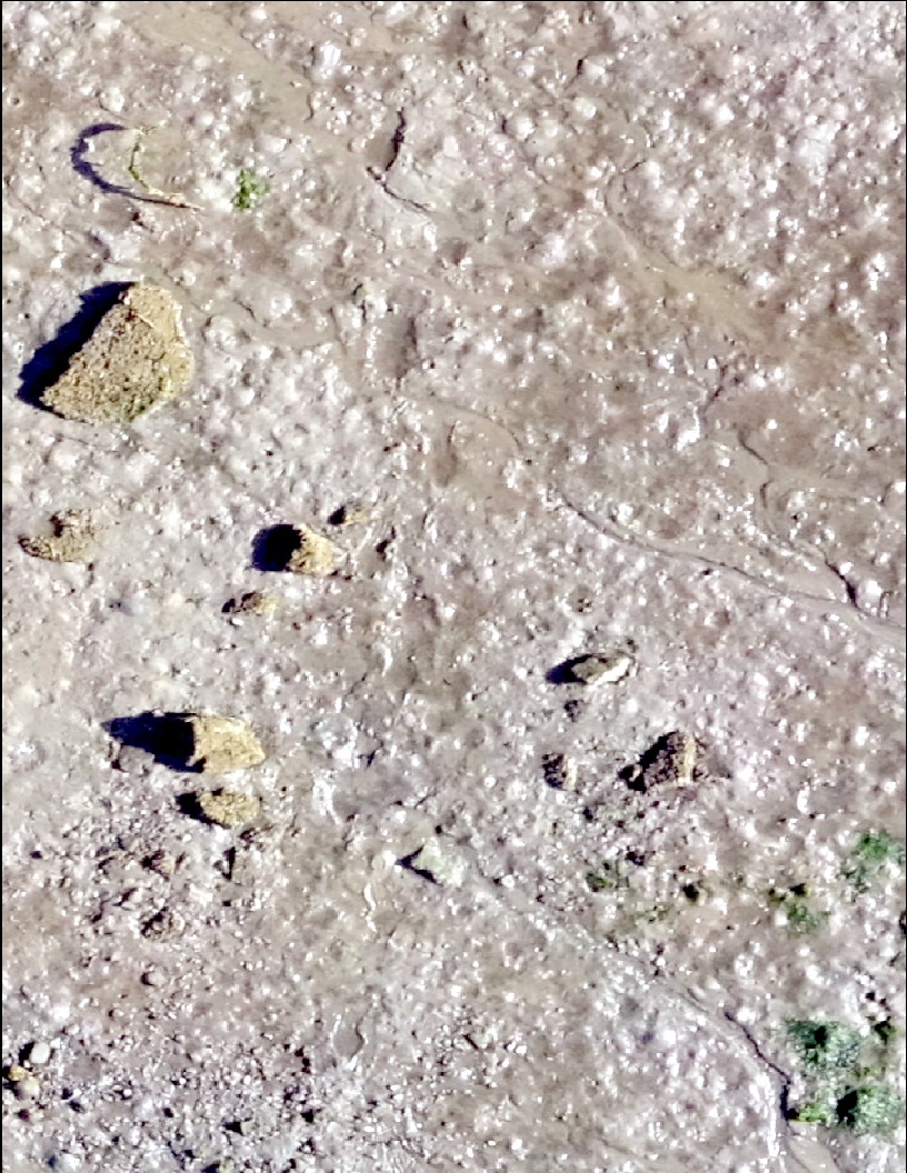
Orthomosaics: Most people are familiar with the term mosaic, but throw in a suffix like “ortho” and it might be a struggle trying to define it (unless you are a classic Latin/Greek root aficionado, then you might know ortho- as meaning straight, upright, or correct). A more widely-known technique called a panorama (or more appropriately, digital panorama) uses a similar process of digital image-stitching. An image-stitch matches two or more images, pixel-by-pixel, to create a single, nearly seamless image. Map makers also find stitched images useful, particularly stitched aerial images. As you probably know, panoramic images are stretched and distorted enough that most objects do not retain their original size and position in the frame. Map makers find this quality particularly annoying as they prefer accuracy and precision, so they devised ways to correct or rectify images (particularly aerial/satellite images) using known, geometrically corrected ground control points (GCPs) to reduce or eliminate distortion. When you rectify aerial images that are taken looking straight down with geometric corrections and then stitch them together, the result is an orthomosaic: a mosaic of georectified (fancy name for geometrically corrected) aerial images suitable for mapping. Consumer digital maps use orthomosaics almost exclusively when available, especially Google Earth’s “satellite” view. Unlike Google Earth, our imagery won’t come from airplanes; it will come from UAVs! Also unlike Google Earth, our mosaics will likely allow you to count rocks on the beach rather than grainy blobs resembling cars and mythological creatures.

Scale 1:200

Scale 1:150

Scale 1:125

As you can see (above), our preliminary UAV missions in Alsea Bay yielded plenty of promising images. The 1:125 scale image (right) shows clear features that are smaller than 30 cm in diameter. Upon closer inspection, we can also pick out shrimp burrows and clam shows. With improvements in our technique and dialing in on clearer and more focused images with our cameras, the data we collect will only get better.

Bathymetry: Unfortunately, our Bathymetry survey in Yaquina Bay was cancelled due to equipment problems. Hopefully SEACOR will have the opportunity to make another attempt once our equipment is repaired!

Next Week: Alsea Bay, Razor Clams in Astoria

Skyler’s Weekly Review – Week 4

The Buzz: Trask River Dam Removal & Netarts Bay UAV Flights

Finding a Takeoff/Landing Site at a Trask River Dam

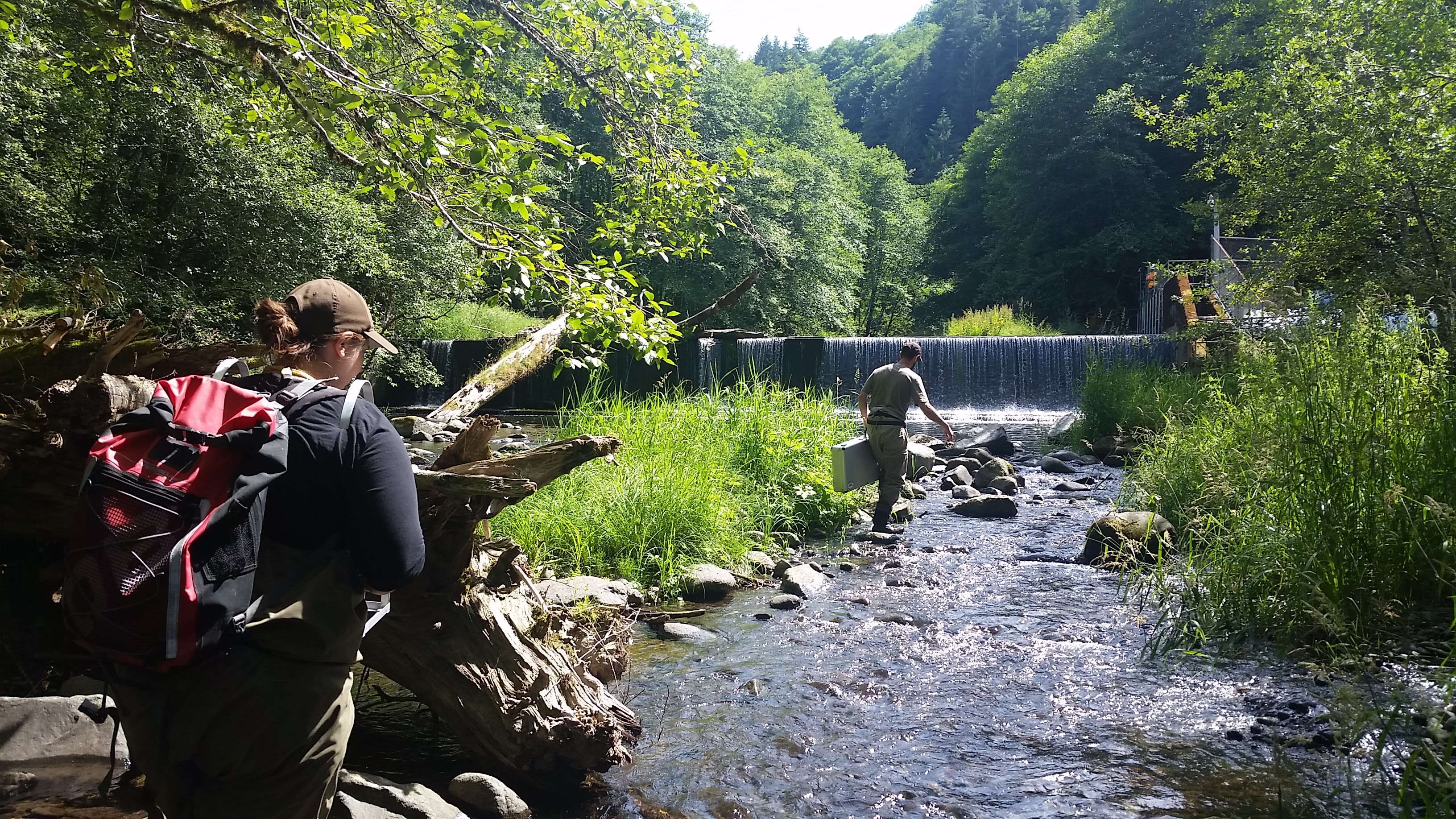
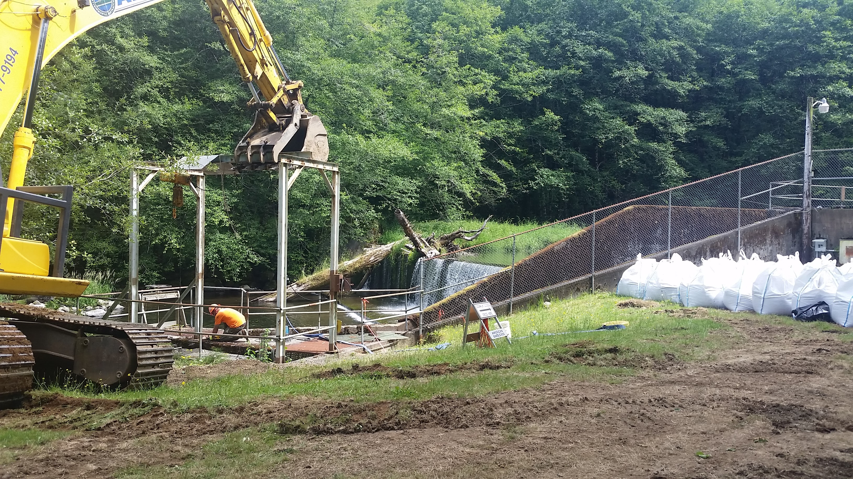
Trask River Dam Removal: 18 Miles East of Tillamook lies a small fork of the Trask River and the remnants of a very small dam. One day prior to the removal of the dam wall, I had the opportunity to tag along with Erik Suring (Project Lead for Salmonid Life-Cycle Monitoring, Western Oregon Fish Research and Monitoring Program and ODFW UAV pilot) as well as SEACOR’s resident UAV expert, Liz Perotti, to capture pre-removal aerial photography with UAVs. The dam was originally built in the 1970’s to support the operations of a hatchery/rearing pond co-located with the dam. Following recent studies on dams, fish ladders, culverts, and other barriers’ impact on fish passage (particularly anadromous fish or those that travel from salt to fresh water to spawn such as salmon and steelhead), dams across the country have been targeted for removal by State governments. Ideally, we will be able to return to aerially observe the “after” effects of the dam removal such as the movement of 40 years of built up sediment. Check back soon for a view of the final product!

Dam Removal In Progress

Makeshift Plywood Landing Pad

Netarts Bay UAV Flights: It is easy to imagine flying UAVs being quite simple: you can automate their flight paths, algorithms keeps them stable in the air, and just about anyone can afford one these days. Now throw in a camera you have to stabilize and calibrate, prepare a specific mission to capture aerial photographs, work in a narrow low-tide window, anticipate daily weather, troubleshoot technical problems, ensure there are no people under your flight path, file a Notification to Airmen with the FAA, plan your landing/takeoff area, and… well, it gets complicated quickly to say the least. Camera settings need to be set: focus, ISO, shutter speed, aperture. Time of day has a massive impact on the quality of photos and unfortunately, opportune weather and good lighting rarely align with low tides. While our UAV is rated to fly in up to 40 mph winds and maintaining smooth video, flying in gusts while taking stills is much more difficult. During the UAV flights, we have several other concurrent tasks needing completion to ensure our UAV aerial imagery can be used for measuring: our GPS RTK ground-truth survey of the GCPs which are evenly distributed over our project area (~1km2) and the evaluation of randomly distributed quadrats for eelgrass, macroalgae, and clam shows. Each of these tasks have their own set of challenges. With each flight we conduct, I realize that the need for near-perfect conditions becomes more of a necessity than a hopeful wish. We shall see how our efforts panned out soon. In the meantime, I have plenty of computer processing tasks to be completed.

Autopilot Takeoffs, Manual Landings…

Next Week: Orthomosaics, Bathymetry RTK Surveys

Skyler’s Weekly Review – Week 3

The Buzz: Clamboree, RTK, Mission Planner

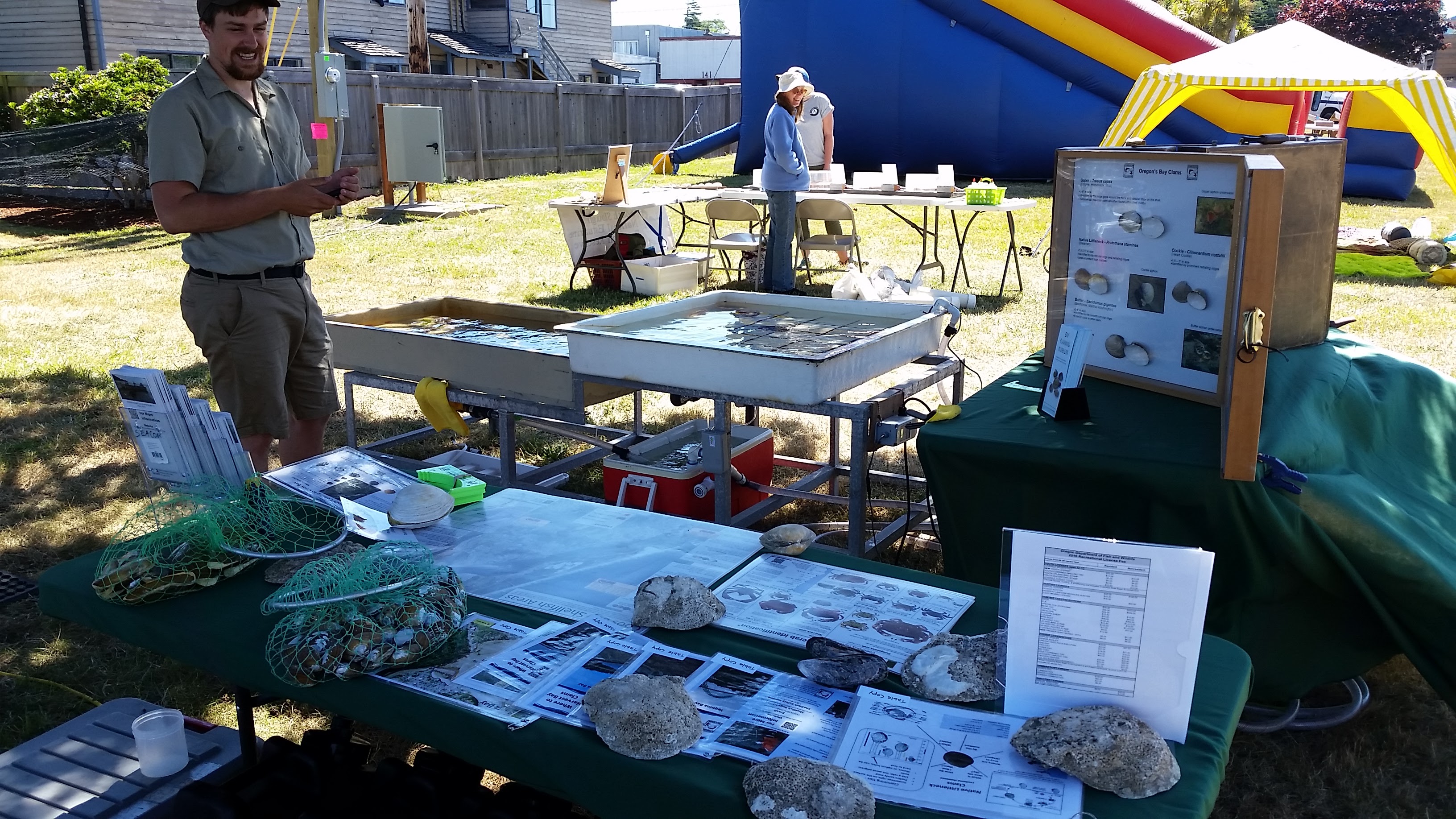
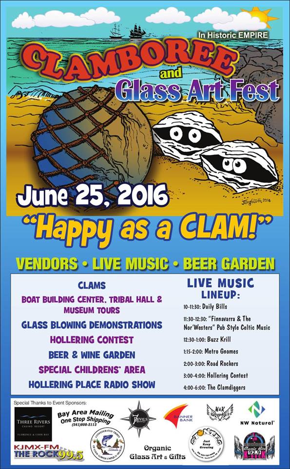
Clamboree: Every year, Coos Bay hosts an event to celebrate their fondness for Empire clams (otherwise known as gapers, horse clam, horseneck clam, or Tresus capax) and more recently, glass art. This year was particularly important for ODFW to make their presence known due to upcoming estuarine studies being conducted in the bay. Despite being located by Clamboree staff in the most distant corner from the action (you would think being near the kids section, which also happened to be next to the beer/wine garden, would draw lots of people), we had ample amounts of wanderers playing in our touch tank full of clams, crabs, and other invertebrates. Loaded for bear with pamphlets, sport fishing regulations, identification charts and shadow boxes, crab gauges, visual displays of legal and non-legal crab, and plenty of things to poke and touch, SEACOR did their best to provide educational outreach for the event.

2016 Claboree Poster

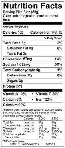
Bay Clam Nutrition Facts

RTK: RTK, or real-time kinematic, is a rapid survey style that utilizes several GPS reference stations to calculate highly accurate “rover” or moving GPS positions on-the-fly. This style allows us to record locations with very low error and accuracies down to about 1 centimeter quickly (under 2 minutes per location), easily (push of a button), and without more additional computer processing. The purpose of RTK surveys for SEACOR projects remain primarily in the realm of conducting estuarine bathymetry surveys; combining echosound measurements with precise GPS locations. However, with some additional equipment, RTK provides a massive benefit to our UAV imagery we plan to collect. Precise GPS data makes our imagery able to be used for measuring distance on the ground from aerial photography; a game changer that allows us to measure and count clam shows that are roughly a centimeter in size over a much larger area and long after the tides have returned to obscure them. These clam shows also happen to be the most recreationally harvested bay clams: gapers, cockles, littlenecks, and butters. UAVs plus RTK ground-truthing might allow far more advanced and accurate calculation using much fewer resources than typical quadrat surveys of bay clam populations; a boon to clam resource management.

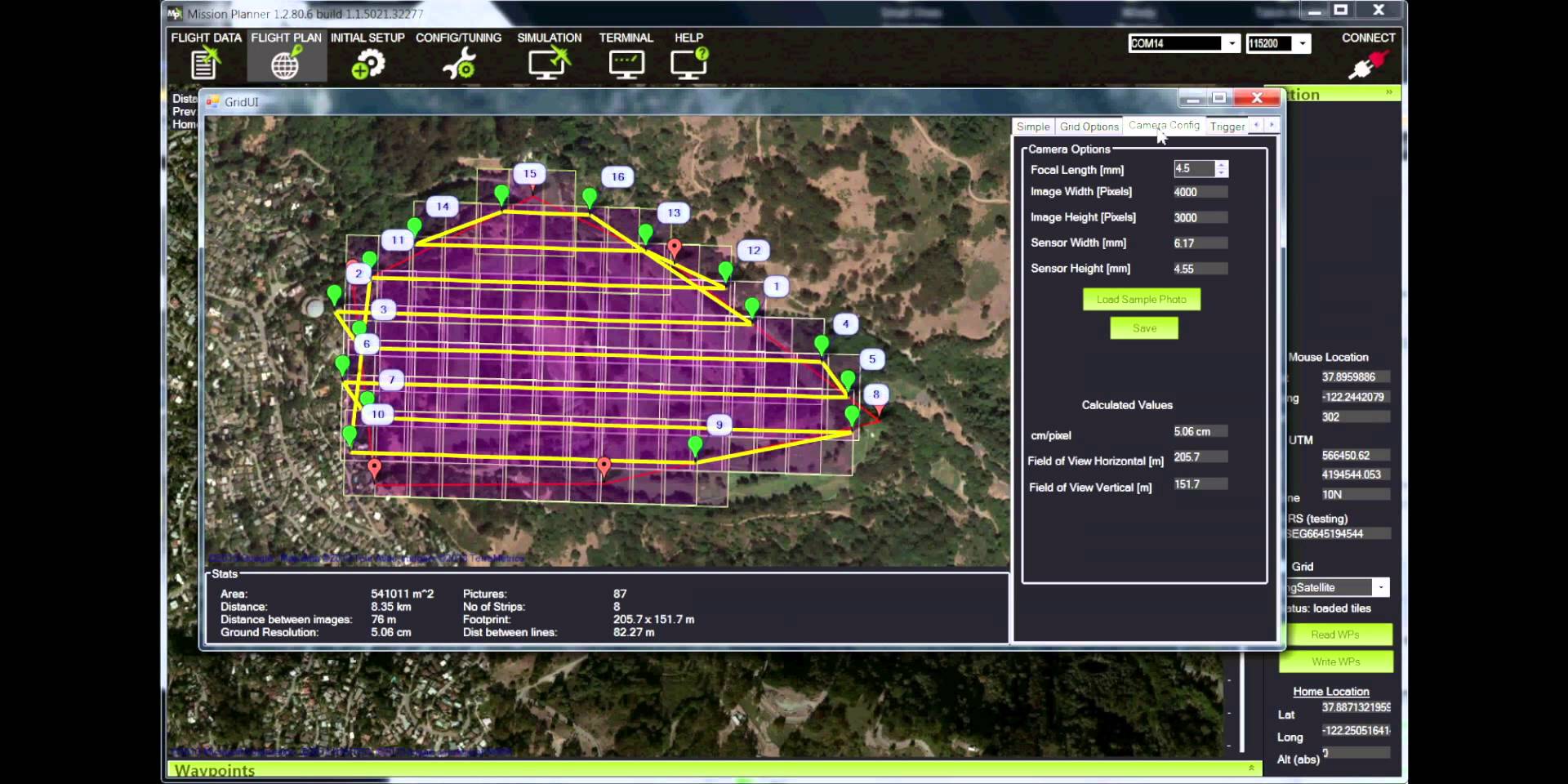
Example Mission Planner Grid

Mission Planner: Few software developers have pursued a complex suite of UAV applications as well as the open-source UAV community. A well-known platform, Mission Planner, can be used to control a variety of remote controlled autonomous vehicles including copters, planes, rovers, and to some extent even submersible vehicles. Recently, the community developing the software added in features to make UAV aerial photography and mapping even easier such as creating gridded flight plans that ensure a certain percentage of image overlap. SEACOR’s UAV flights will require 80% or higher image overlap; flying manually and achieving this is next to impossible. But Mission Planner and its compatibility with most common UAV flight controllers allow us to design an automated flight path to ensure we get the data we need from our on-board camera sensor.

Next week: UAVs, UAVs, and UAVs!

Skyler’s Weekly Review – Week 2

The Buzz: Estuary Field Work, RStudio/Swirl, and The ORGN

Deploying Nutrient Bags

Deploying Nutrient Bags

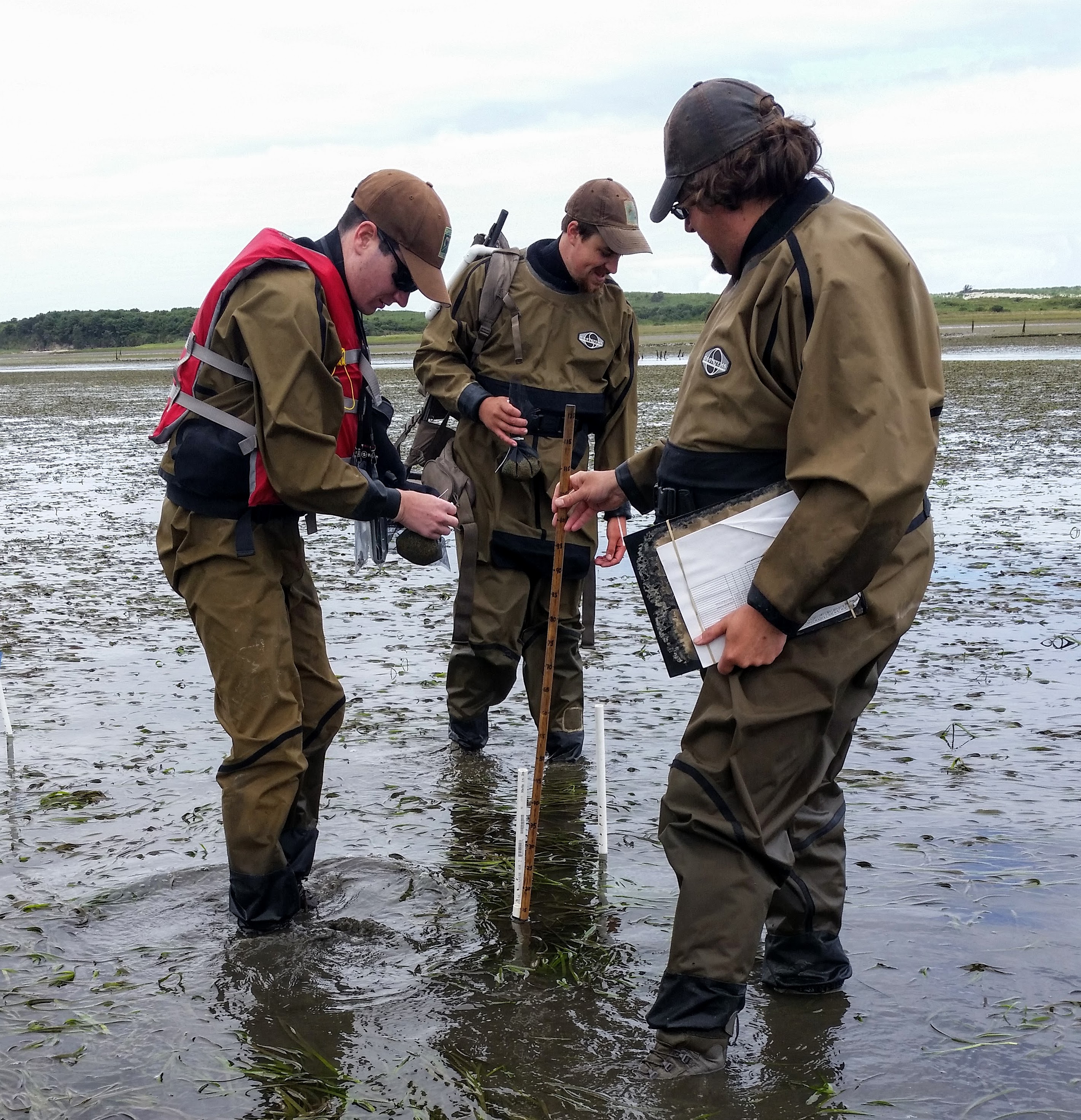
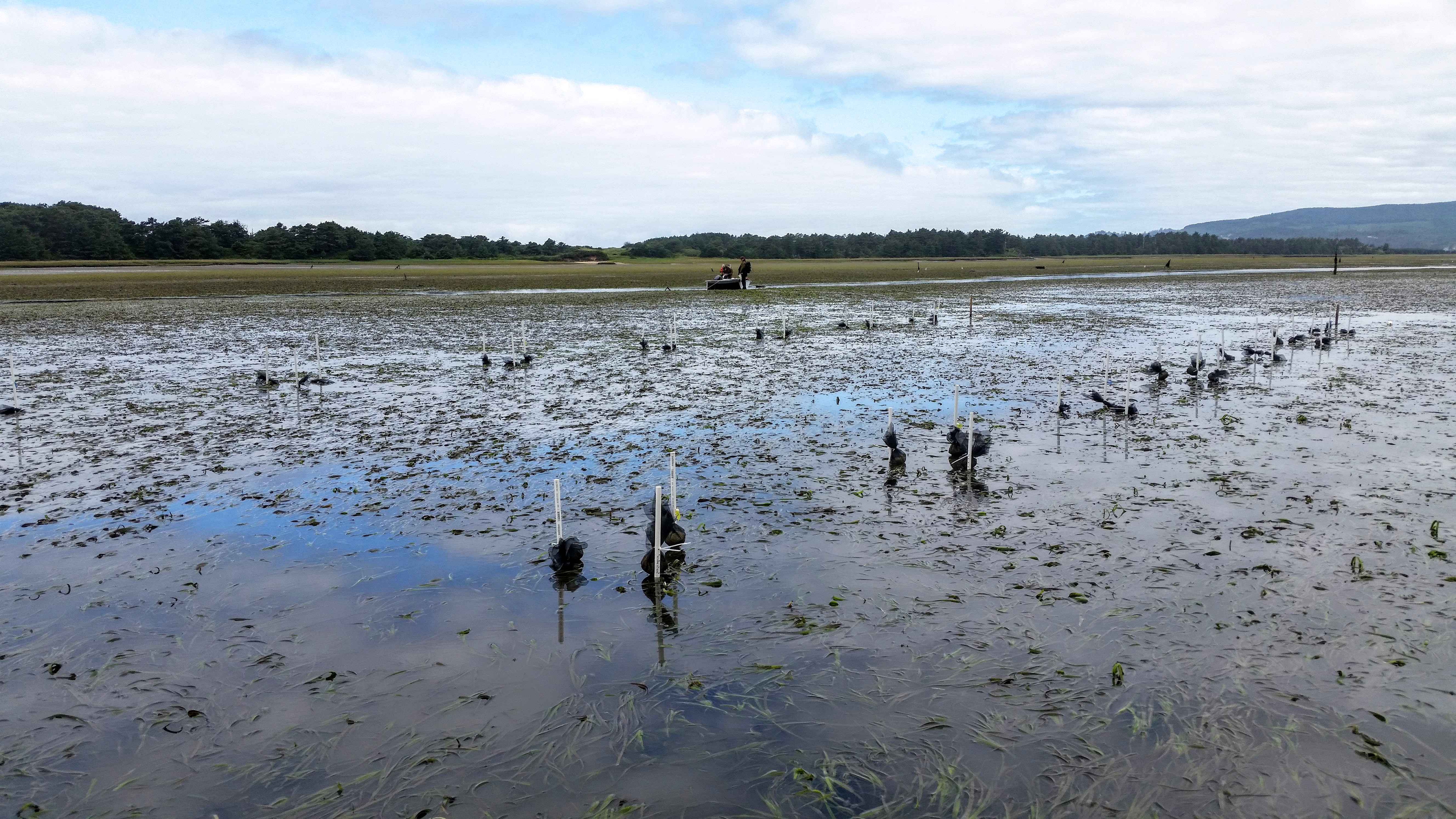
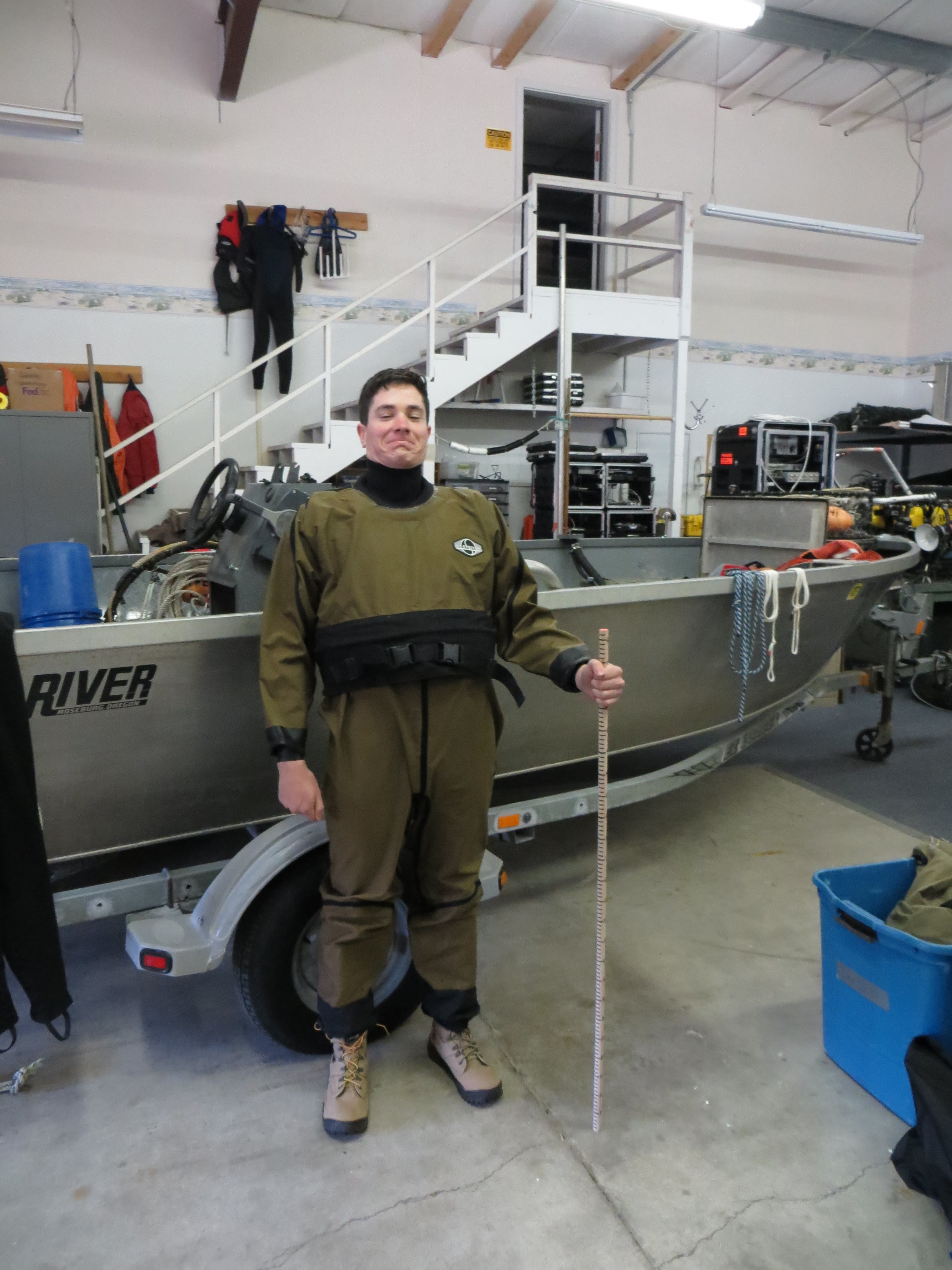
Estuary Field Work: SEACOR’s week started early at low-tide in Netarts Bay. After a boat ride through channels inhabited by harbor seals and oyster leases, we gathered clams for the Coos Bay Clamboree and began setting up an experimental plot within a large eelgrass bed to study the potential effects of eutrophication. Armed with dry suits and military-grade backpack frames loaded with nutrient bags, PVC, and transect tapes, our objective was to set up 20 modified quadrats (a predetermined sampling area for assessing distribution of plants/animals) with randomized nutrient and control bags attached. Additionally, we collected samples of eelgrass for further analysis in a lab, took a count of eelgrass shoots per quadrat, and estimated percent coverage of eelgrass, macroalgae (seaweed), and epiphytes (plants that grow on other plants) in each sampling area. Our initial eelgrass samples will be sent off for stable isotope analysis. Ideally, eelgrass will absorb marker isotopes from the nutrient bags and provide insights into how much is being absorbed. When SEACOR returns for another site visit in 2 weeks, we will collect information on whether the nutrient bags we deployed had any effect on growth inside each nutrient-loaded quadrat compared to the control quadrats.

Completed Experimental Plot


Learning R in Swirl

RStudio/Swirl: The history of the programming language R may not interest most scientists who want to use it, but they do recognize R as an incredibly useful tool for statistical analysis and graphics representation (and perhaps more importantly, an open-source, cheaper alternative to MATLAB). As with any language, it cannot be learned overnight but RStudio (a development environment that simplifies writing code in R) and Swirl (an interactive learning platform that helps you learn RStudio/R with lessons in the R language itself) make any budding programmer/frustrated scientist’s efforts a little less painful. With corny phrases of encouragement like “You rock!” and “You are so good at this!” displayed for completing tasks/goals, Swirl keeps you motivated (humorously) to progress forward. Why learn how to use R? The simple answer is scientists work with a lot of data; piles of it. And in order to make sense of it all, it helps to see that data visualized graphically to evaluate trends that may not have been immediately apparent by staring at matrices or spreadsheets full of values. Additionally, the only mainstream alternative to R is MATLAB (a costly but perhaps superior product); a software platform that may be useful to many scientists, but not affordable to many as part of their research program budgets. When confronted with the decision to either not have MATLAB or have a reduced budget, R seems like an obvious choice in a world of tight research funding.

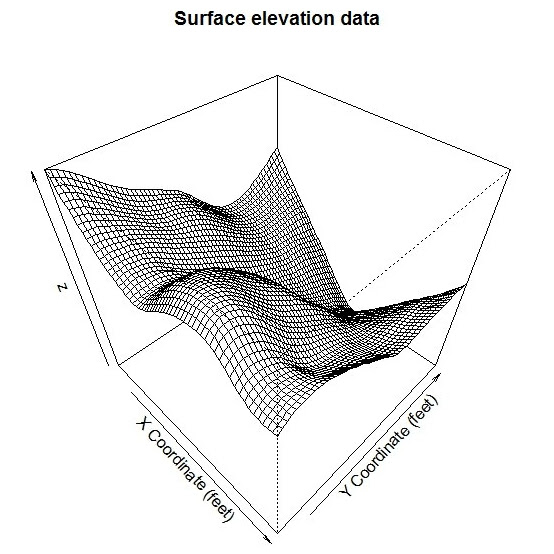
Creating Surfaces with R

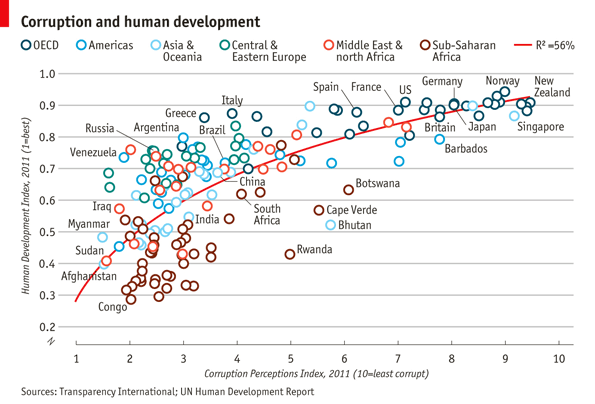
Informative Graphics using R


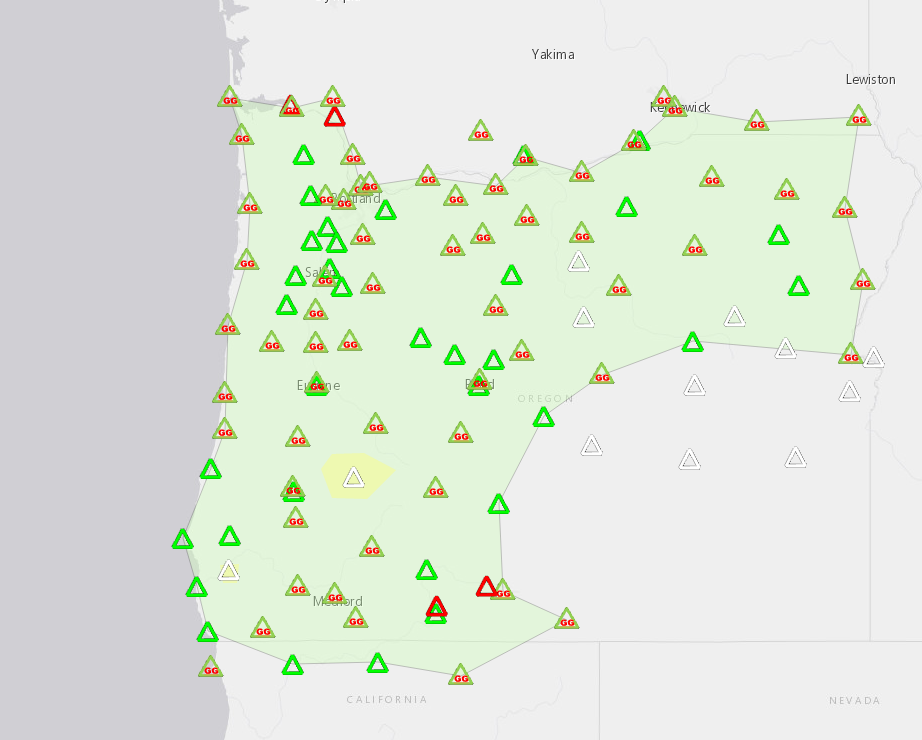
Current Oregon Real-time GNSS Network

The ORGN: Professional-grade survey equipment is a hefty investment. Keeping guard of your equipment from theft and vandalism while it is operating is also expensive (usually in the form of some poor soul sitting next to static locations for long periods of time). Oregon State Department of Transportation has established a publicly-available network of stationary, continuously collecting GPS base stations (used to correct “roving” GPS units, or make rover measurements more accurate) that support the mainstay of GPS data collection: real-time-kinematic surveys (RTK). Without the need for each survey to field its own base station GPS,  lower-budget survey operations can be conducted (granted those surveys are within the network’s coverage) because less equipment is required to operate. In this case, it allows SEACOR to utilize near centimeter-grade measurements of the UAV ground control points that we otherwise might not have access to. The high precision locations can then be utilized to reduce the amount of error and distortion introduced into our UAV imagery when used for georeferencing. The ORGN GPS devices are very similar to the ones used in the Continuously Operating Reference Station (CORS) network which is owned and operated by NGS/NOAA. The primary difference is that the ORGN provides real-time corrections via a cellular connection; the CORS network is more useful with a different GPS survey technique known as precise point positioning (PPP). PPP requires GPS units to continuously occupy a point long enough to enable post-processed calculations (not real-time calculations) to correct for errors in GPS satellite clock and orbit (this information is usually published within 24 hours after it occurs). This survey technique can achieve centimeter or even subcentimeter accuracies and is typically only used in navigation or guidance of missile/rocket trajectories, flight, or other machinery that require precise movements.

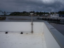
NOAA’s South Beach Continuously Operating Reference Station (CORS)

Newport Airport CORS – Station P367


Next week: Clamboree, RTK, Mission Planner, and more…


Skyler’s Weekly Review – Week 1

The Buzz: Newport, ODFW & SEACOR, UAVs and GIS

Newport: Consistent temperature. Inconsistent weather. Weather prediction apps wildly inaccurate. Prepare for rain AND sun. Quaint maritime/fishing community reinforced by the presence of the Hatfield Marine Science Center (HMSC). Excellent farmer’s market on Saturdays.
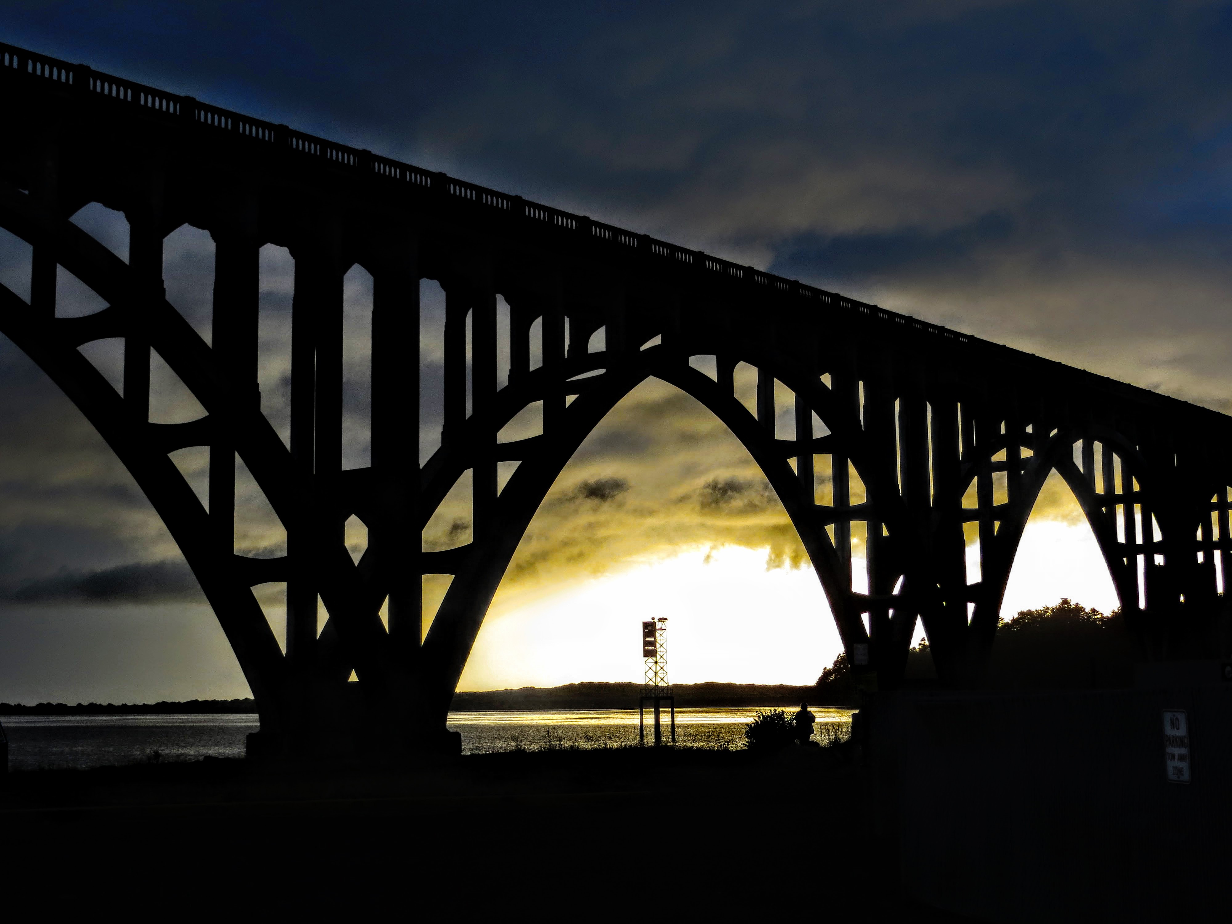
P.S. Like many before me, I too have now contributed to the pool of images of the Yaquina Bay Bridge (See Left).


ODFW & SEACOR: The Shellfish and Estuarine Assessment of Coastal Oregon (SEACOR, pronounced “seeker”), is operated under the auspices of the Marine Resources Program of ODFW and is primarily funded by recreational shellfish licenses. They have enlisted my help for field work in several major Oregon estuaries. Additionally, I have been tasked with aiding in operating and evaluating Unmanned Aerial Vehicles’ (UAVs) potential for rapid assessment of shellfish burrow hole counts and eelgrass estimates. Utilizing various software, UAV imagery is stitched (also called a mosaic), referenced to a position on the planet, and exported for further use and/or analysis in a Geographic Information System (GIS).


UAVs: Often given a bad rap for landing on the White House lawn and interrupting firefighting flights, UAVs (or more commonly, drones) remain an undeniably game-changing technology in photogrammetry and scientific research due to their affordability and ease of use. We will be primarily utilizing a Turbo Ace Matrix quadcopter: a reliable, lightweight carbon-fiber/aluminum bodied UAV carrying a Sony RX100 camera sensor.


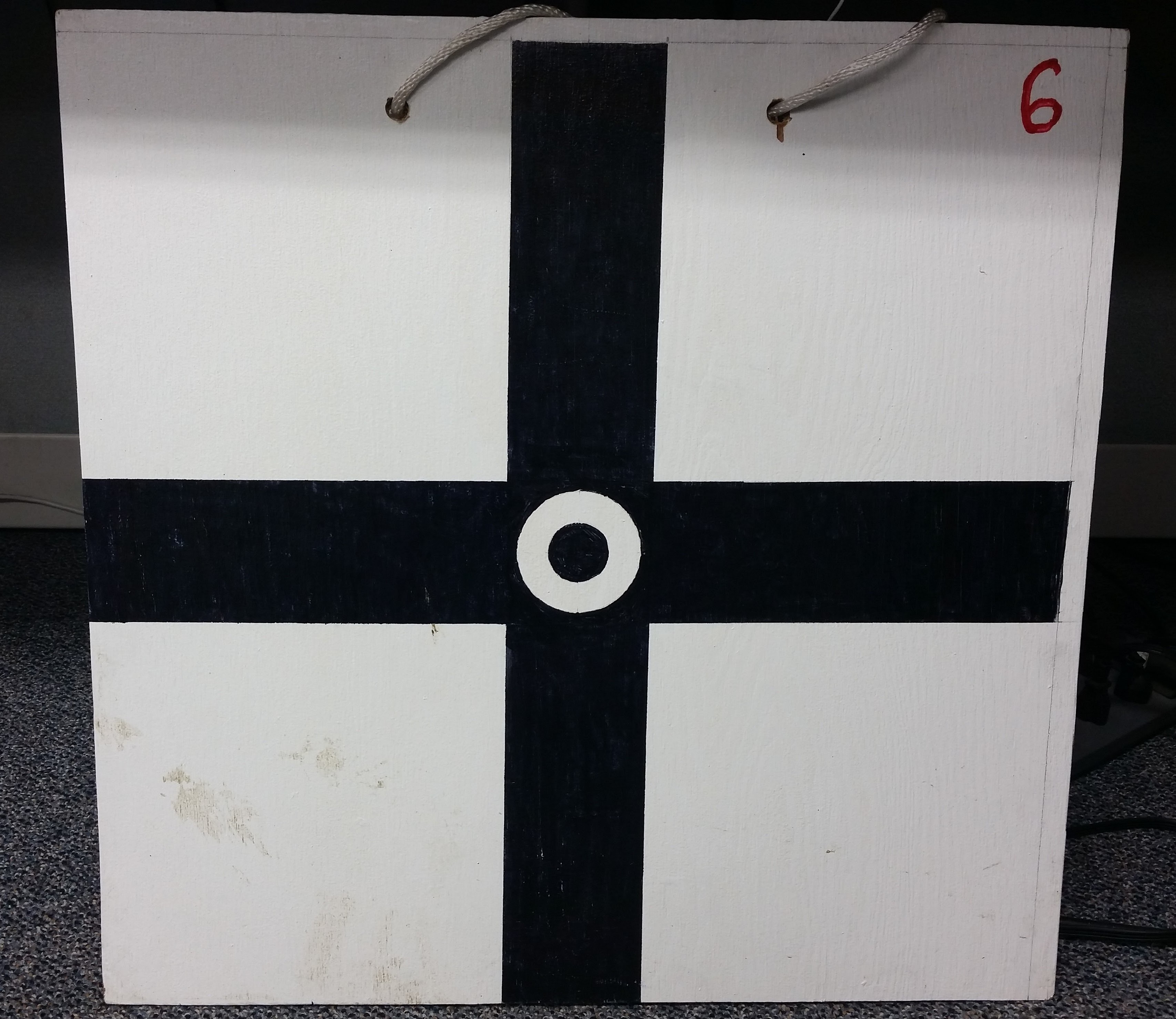
GIS: In order to utilize the UAV imagery with computer mapping tools (i.e. ArcGIS), we need to position several Ground Control Points (GCPs) along the anticipated flight path of our UAV. GCPs allow us to make geographic ties between the images we collect and the real coordinates of the high-accuracy GCPs. Our GPS coordinates will be collected using a professional-grade Trimble GPS receiver prior to the UAV flight. Once our imagery and GCPs are collected we can “georeference” our imagery so that we can make more accurate calculations.

Next week: Estuary Field Work, RStudio, and more!